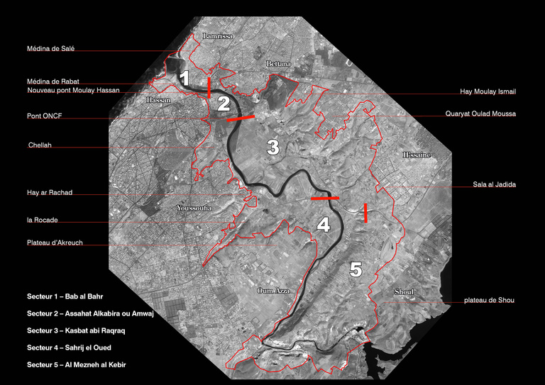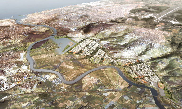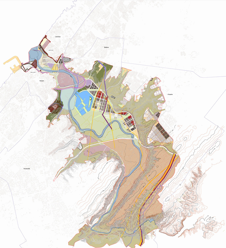
The goals of the Bouregreg Valley special development plan (PAS) are broken down into five themes including all the urban and landscape components of the Valley:
The Blue Plan deals with constraints and goals related to water: tidal levels, flood stages, hydraulic regulation structures, navigability, etc.
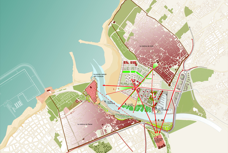
The Ochre Plan identifies all historic monuments, archaeological sites and viewing cones from the promontories of the cliffs. Constraints related to visual axes and co-visibility distances are given for the future urbanisation.
The Grey Plan provides the armature and hierarchy of the major roadway network across and longitudinal to the valley.
The Green Plan identifies environmental constraints and provides goals for preserving the most valuable landscaped sectors.
The White Plan sets goals for urban development in the valley.
Delivery :
2006
Defining rules for land use, servitudes and construction regulations
Project owner
Kingdom of Morocco
Agence pour l’aménagement de la Vallée du Bouregreg
Project Supervision
Reichen et Robert & Associés
Urban designer: Bert McClure
Landscaping: Atelier Jacqueline Osty & Associés
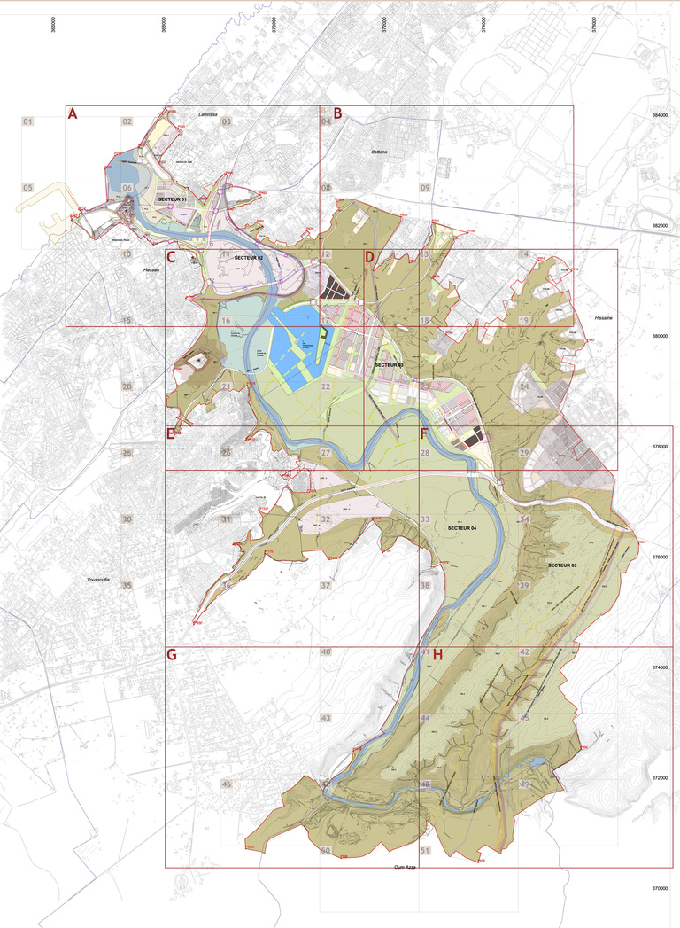
Surface covered
6,000 hectares approximately